Imådje:Antarctica blank.svg

Taille de cet aperçu PNG pour ce fichier SVG : 600 × 600 picsels. Ôtès fintés: 240 × 240 picsels | 480 × 480 picsels | 768 × 768 picsels | 1 024 × 1 024 picsels | 2 048 × 2 048 picsels | 804 × 804 picsels.
Fitchî d’ oridjinne (Fitchî SVG, finté di 804 × 804 picsels, grandeu: 39 Ko)
Ci fitchî ci provént d’ Wikimedia Commons ; si pout i esse eployî divins des ôtes pordjets Wiki. Li discrijhaedje di si pådje di discrijhaedje låvå est håynêye cial ådzo.
Discrijhaedje
Cette image vectorielle non W3C-spécifiée a été créée avec Inkscape .
| Discrijhaedje |
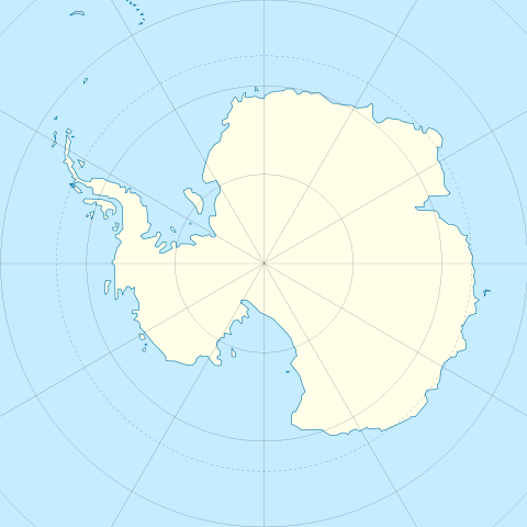
English: Blank map of Antarctica.
Français : Carte nue de l'Antarctique. La latitude au centre de chaque bord est -60. Donc le pôle est centré. |
| Date | |
| Sourdant | Image:Antarctica_research_station.gif + Image:Blank suedpolarregion.png |
| Oteur | STyx |
| Ôtès modêyes | Map with territorial claims marked out, Antarctica blank 2.svg |
Licince
Moi, en tant que détenteur des droits d’auteur sur cette œuvre, je la publie sous les licences suivantes :

|
Vos avoz l’ droet di rcopyî, di spåde et di rcandjî ci documint ci sorlon çou k’ est di dins l’ GNU Free Documentation License modêye 1.2 u les cenes d’ après eplaidêyes pal Free Software Foundation, sins hagnons nén candjåves, sins l’ tecse del prumire pådje di coviete eyet sins l’ tecse del dierinne pådje di coviete. Gn a-st on egzimpe del licince divins li hagnon k’ a l’ tite GNU Free Documentation License. |
Ce fichier est disponible selon les termes de la licence Creative Commons Attribution 3.0 Non transposée.
- Vos estoz libe :
- di pårtaedjî – di rcopyî, di rispåde eyet di rdiner cisse ouve ci
- di rdjårber – di candjî ciste ouve
- Avou les condicions ki shuvèt :
- atribucion – Vos dvoz dner les racsegnes so l’ oteur ki vont bén, diner on loyén eviè l’ licince eyet mete si des candjmints ont stî fwaits. Vos ploz fé çoula di tote sôre di manires, mins nén tot djant ki l’ oteur vs aspale udonbén asprouve l’ uzaedje ki vos nd e fjhoz.
Voz ploz tchoezi l’ licince ki vos vloz eployî.
Istwere do fitchî
Clitchîz so ene date ey ene eure po vey kimint ki l’ fitchî esteut adon.
| Date/Eure | Imådjete | Grandeur | Uzeu | Comintaire | |
|---|---|---|---|---|---|
| asteure | 21 decimbe 2009 à 11:45 | | 804 × 804 (39 Ko) | Botev | Reverted to version as of 07:30, 14 October 2009 - we are using this image as a location map on pl wiki, don't simply change it like that. Upload a new image if you want. |
| 17 decimbe 2009 à 15:59 |  | 1 139 × 1 262 (43 Ko) | NuclearVacuum | minor | |
| 17 decimbe 2009 à 15:57 |  | 1 139 × 1 262 (43 Ko) | NuclearVacuum | made image larger to show the rest of the image | |
| 14 octôbe 2009 à 07:30 |  | 804 × 804 (39 Ko) | Entlinkt | Just slightly changed colours to those given at File:Maps_template-fr.svg | |
| 11 måss 2008 à 01:43 |  | 804 × 804 (39 Ko) | STyx | ||
| 11 måss 2008 à 00:43 |  | 804 × 804 (30 Ko) | STyx | == Summary == {{Created with Inkscape}} {{Information |Description= *{{en}} Blank map of Antarctica. *{{fr}} Carte nue de l'Antarctique. La latitude au centre de chaque bord est -60. Donc le pôle est centré. |Source=[[:Image:Antarctica_research_station. |
Eployaedjes do fitchî
I n’ a nole pådje k’ eploye ci fitchî ci.
Eployaedje tot avå do fitchî
Les ôtes shuvants wikis eployèt c’ fitchî ci :
- Eployaedje so de.wikipedia.org
- Eployaedje so en.wikipedia.org
- Eployaedje so es.wikipedia.org
- Eployaedje so fr.wikipedia.org
- Eployaedje so hy.wikipedia.org
- Eployaedje so zh.wikipedia.org